Short Answer
Understanding Volcanoes and Their Significance
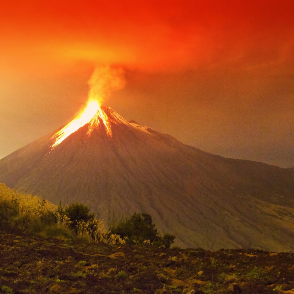
Volcanoes have fascinated humanity for thousands of years, captivating us with their awe-inspiring presence and their ability to dramatically reshape landscapes and ecosystems in moments. These natural phenomena are not only visually striking but also hold critical importance due to their potential to impact human life and the environment. The development of satellite technology has transformed how scientists study volcanoes, enabling a broader and more detailed perspective on their behavior and activity.
Definition and Nature of Volcanic Eruptions
Volcanic eruptions occur when molten rock, or magma, ascends from deep within the Earth’s mantle to the surface, driven by complex geological processes. This movement results in the release of lava, gases, and ash, which can alter the surrounding environment significantly. The unpredictability of these eruptions poses a major challenge for scientists aiming to forecast them accurately.
- Magma Movement:
The upward flow of magma through the Earth’s crust is the fundamental cause of volcanic eruptions. - Geological Complexity:
The intricate interactions within the Earth’s interior make eruption timing and intensity difficult to predict.
Traditional Versus Satellite-Based Monitoring Techniques
Historically, volcanologists have depended on ground-based methods such as measuring seismic activity, gas emissions, and surface deformation to monitor volcanoes. While effective, these techniques are often limited by accessibility challenges and safety risks near active volcanoes. Satellite technology offers a powerful alternative by providing continuous, remote observation capabilities that overcome many of these limitations.
Ground-Based Monitoring Methods
- Seismic Monitoring:
Detects earthquakes and tremors caused by magma movement. - Gas Emission Analysis:
Measures volcanic gases like sulfur dioxide to identify changes in volcanic activity. - Surface Deformation:
Tracks ground swelling or sinking that may indicate magma pressure changes.
Advantages of Satellite Observation
- Remote Accessibility:
Enables monitoring of hazardous or inaccessible volcanoes without physical presence. - Continuous Data Collection:
Provides ongoing surveillance regardless of weather or daylight conditions. - Wide Coverage:
Allows simultaneous observation of multiple volcanoes across the globe.
Satellite Technologies Used in Volcanic Monitoring
Modern satellites employ various sensing technologies to detect and analyze volcanic activity from space, each offering unique insights into volcanic processes.
Synthetic Aperture Radar (SAR)
SAR satellites emit radar waves to generate high-resolution images of the Earth’s surface. This technology excels at detecting minute ground deformations caused by magma movement beneath the surface. Its ability to penetrate clouds and operate during nighttime makes it invaluable for consistent monitoring.
Thermal Infrared Sensing
Satellites equipped with thermal infrared sensors measure surface temperature variations on volcanoes. Elevated thermal readings can indicate active lava flows or heating of volcanic rocks, serving as early warning signs of potential eruptions.
Gas Emission Detection via Spectrometry
Using spectrometers, satellites can identify and quantify volcanic gases such as sulfur dioxide (SO2) released into the atmosphere. These gas emissions often precede eruptions, providing critical data for forecasting volcanic activity.
Integrating Satellite Data with Ground Observations
Combining satellite-derived information with traditional ground-based measurements enhances the accuracy of volcanic eruption predictions. For instance, correlating SAR-detected ground deformation with seismic data from local instruments offers a comprehensive understanding of subsurface magma dynamics.
- Multidisciplinary Approach:
Integrates diverse data sources to improve eruption forecasting. - Geophysical Modeling:
Uses combined datasets to simulate volcanic behavior and assess eruption likelihood.
Challenges in Predicting Volcanic Eruptions
Despite technological advancements, forecasting volcanic eruptions remains inherently uncertain due to the complex and chaotic nature of volcanic systems. Magma chambers can behave unpredictably, influenced by numerous geological factors that vary from one volcano to another.
- Unpredictable Behavior:
Some eruptions occur with minimal precursors, complicating early warning efforts. - Volcano-Specific Characteristics:
Different types of volcanoes (e.g., shield, stratovolcano, cinder cone) exhibit distinct eruption patterns and signals. - Historical Misinterpretations:
Past events like Mount St. Helens (1980) and Eyjafjallajökull (2010) highlight difficulties in interpreting early warning signs accurately.
Importance of Satellite Monitoring in Volcanic Hazard Management
Satellite technology plays a crucial role in enhancing volcanic hazard preparedness and response. Continuous remote monitoring allows scientists to track changes in volcanic activity safely and efficiently, providing vital information to emergency management agencies and local communities.
- Early Warning Systems:
Real-time satellite data can trigger timely evacuation orders, reducing risks to human life. - Disaster Preparedness:
Supports planning and mitigation strategies in vulnerable regions. - Global Collaboration:
Facilitates information sharing among scientists, emergency responders, and policymakers worldwide.
Future Directions in Volcanic Eruption Prediction
The ongoing evolution of satellite technology and data analytics promises to improve volcanic eruption forecasting further. Emerging innovations such as CubeSats-compact, cost-effective satellites-offer increased observation frequency and resolution. Additionally, the application of machine learning algorithms to analyze complex, multi-source geospatial data is opening new frontiers in understanding volcanic behavior.
Summary and Outlook
Predicting volcanic eruptions remains a formidable scientific challenge, but the integration of satellite observations with traditional monitoring methods provides a more detailed and dynamic view of volcanic systems. As technology advances and data accessibility improves, the potential for more reliable eruption forecasts grows, contributing to enhanced public safety and deeper scientific insight into these powerful natural phenomena.


Leave a Reply