Volcanoes have piqued human curiosity for millennia, not only due to their majestic beauty but also because of their capacity to abruptly alter landscapes and ecosystems. The advent of satellite technology has revolutionized our understanding of these geological phenomena. By observing various indicators from above, scientists have begun to scrutinize the feasibility of predicting volcanic eruptions. This discussion elucidates the methodologies employed in monitoring volcanoes from space, the efficacy of these techniques, and the implications of satellite data on eruption prediction.
Volcanic eruptions occur as a result of the ascent of magma from the Earth’s mantle to the surface, an interplay of geological dynamics that is complex and often poorly understood. The challenge lies in the inherent unpredictability of these events. Traditionally, volcanologists have relied on in-situ methods, such as measuring gas emissions, seismic activity, and ground deformation. However, these approaches are labor-intensive, localized, and can be hampered by accessibility issues or hazardous conditions surrounding active volcanoes. Satellite technology emerges as a paramount solution.
Various satellite systems are now employed to monitor volcanic activity, leveraging different wavelengths of electromagnetic radiation to observe a plethora of geological features. One classification of these satellites includes synthetic aperture radar (SAR) satellites, which provide high-resolution images that can detect subtle ground deformations indicative of magma movement beneath the surface. This form of radar is particularly adept at revealing ground movement due to its ability to penetrate cloud cover and darkness, factors often detrimental to optical observation methods.
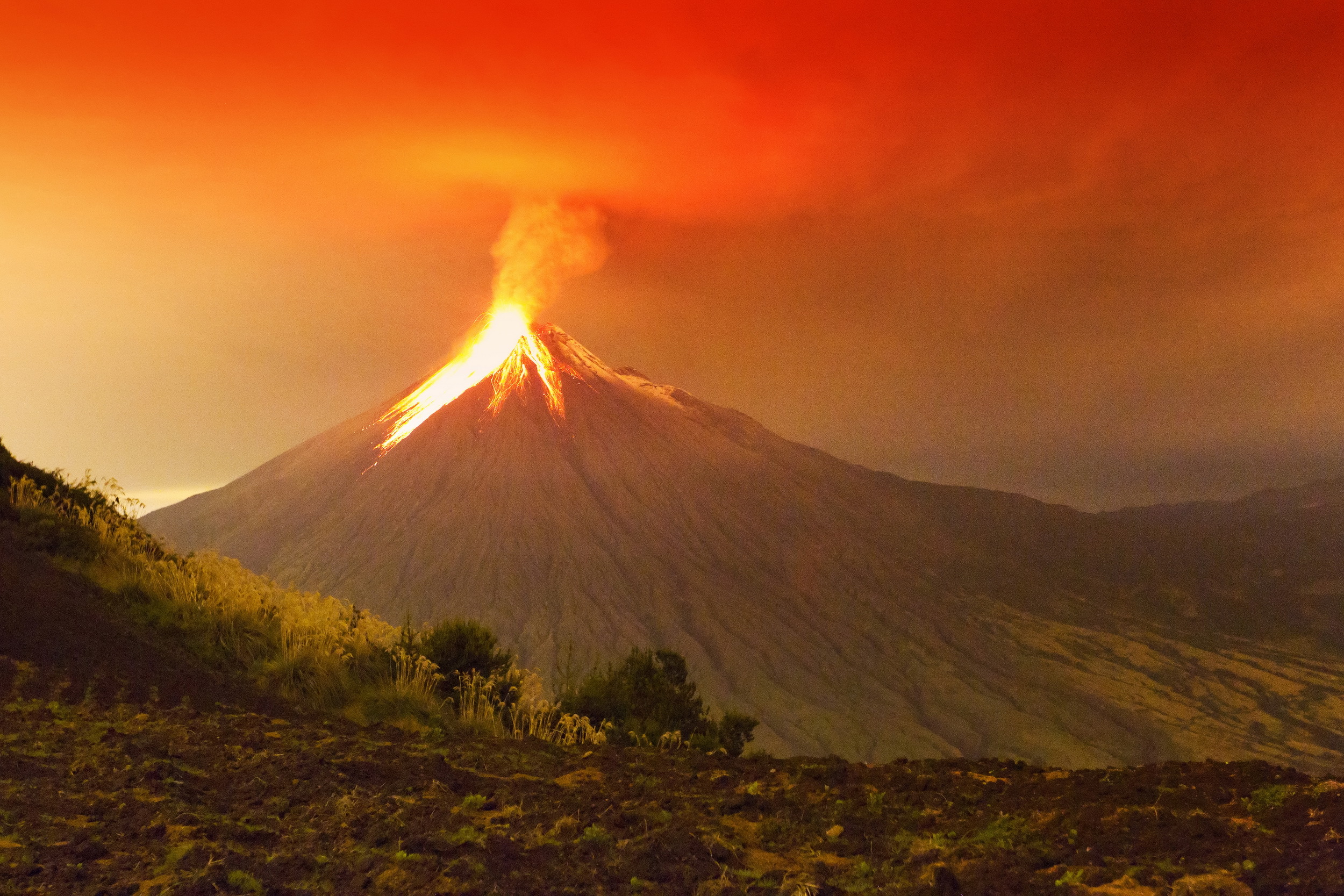
Another promising avenue is thermal infrared sensing. Satellites equipped with thermal cameras can detect temperature anomalies at a volcano’s summit or along its flanks. Elevated temperatures often signify volcanic activity, such as the heating of rocks or the emergence of lava. By continuously monitoring thermal data, scientists can establish baseline temperatures and identify deviations that may herald an impending eruption.
Additionally, satellites partake in the measurement of gas emissions, specifically measuring sulfur dioxide (SO2) concentrations, as these gases can act as precursors to eruptions. Satellite-borne spectrometry allows for the detection of gas plumes that rise from volcanoes, which often occur before an explosive eruption. By understanding the patterns and concentrations of these gases, scientists are better positioned to predict potential eruptions.
Data from space-based observations are consolidated using advanced algorithms and machine learning techniques. These methodologies allow researchers to analyze vast datasets and discern patterns that might go unnoticed through manual means. Integrating geophysical models with satellite observations provides a multifaceted view of volcanic behavior, enhancing predictive capabilities.
The accuracy of volcanic eruption predictions significantly improves as scientists correlate satellite data with ground-based observations. For example, the integration of ground deformation data captured by satellite radar with seismic data recorded by local seismometers paints a clearer picture of underground magma movement. Such multidisciplinary approaches enable volcanologists to gauge the likelihood of eruptions while considering multiple factors, including historical eruption patterns and geological context.
Notably, predicting volcanic eruptions is still wrought with uncertainty. Eruptions may transpire with little to no warning despite robust monitoring systems. The challenge stems from the chaotic nature of volcanic systems. Magma reservoirs behave in unpredictable ways, influenced by a plethora of geological variables. In cases like Mount St. Helens and the 2010 eruption of Eyjafjallajökull, initial signs of activity were misinterpreted, underscoring the complexities in creating reliable predictive models.
The variations in volcanic behavior, driven by unique geological features, further complicate eruption predictions. For example, shield volcanoes exhibit different eruptive characteristics compared to stratovolcanoes or cinder cones, leading to distinct precursory signals. Therefore, the development of predictive models must consider the individual characteristics of each volcano rather than adopting a one-size-fits-all approach.
Despite the challenges, the benefits of utilizing satellite technology for monitoring volcanic activity cannot be overlooked. The capacity for continuous, remote monitoring enables scientists to maintain vigilance over potentially hazardous volcanoes without the risks associated with fieldwork. Additionally, the data generated can support disaster preparedness initiatives, particularly in regions densely populated by communities vulnerable to volcanic hazards.
Real-time satellite data can facilitate timely evacuation orders, minimizing risk to life and reducing economic losses. Institutions worldwide are increasingly recognizing the importance of integrating satellite monitoring into existing emergency response plans, fostering collaboration between geoscientists, emergency managers, and community stakeholders.
The future of volcanic eruption prediction is inextricably linked to advancements in satellite technology and data analysis techniques. Innovations, such as CubeSats—small, cost-effective satellites—show promise in enhancing the frequency and resolution of observations. The proliferation of machine learning algorithms designed to analyze multi-source geospatial data opens new possibilities for refining predictive models, pushing the boundaries of volcanic research.
In conclusion, the endeavor to predict volcanic eruptions is fraught with challenges, yet the synergistic use of satellite technology and ground-based observations offers a clearer lens through which to observe these dynamic systems. As methodologies evolve and data accessibility increases, the prospect of more reliable eruption predictions becomes increasingly attainable. Through continued investment in technology and research, scientists inch closer to deciphering the enigmatic behavior of volcanoes, ultimately contributing to enhanced public safety and scientific understanding.